North America Pictures, Images and Stock Photos
Browse 14,905,800+ north america stock photos and images available, or search for north america map or north america icon to find more great stock photos and pictures.
north america map
north america icon
north america globe
north america landscape
north america flag
europe
north america map vector
map of north america
north america from space
north america vector
earth north america
north america outline
north america satellite
indigenous north america
north america network
north america continent
north america travel
north america aerial
north america business
north america map states
north america skyline
north america topography map
north america forest
north america topographic map
north america digital
north america city
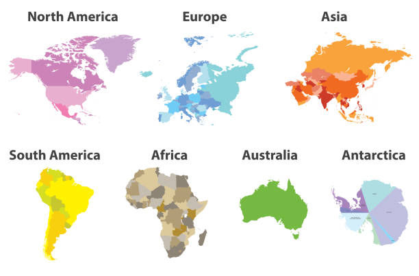
world north america
north america map icon
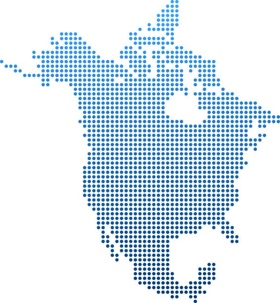
north america map dots
north america abstract
Most popular
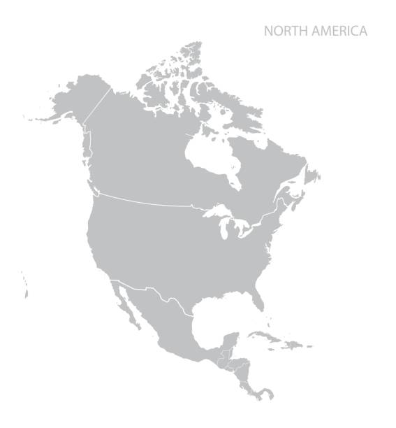
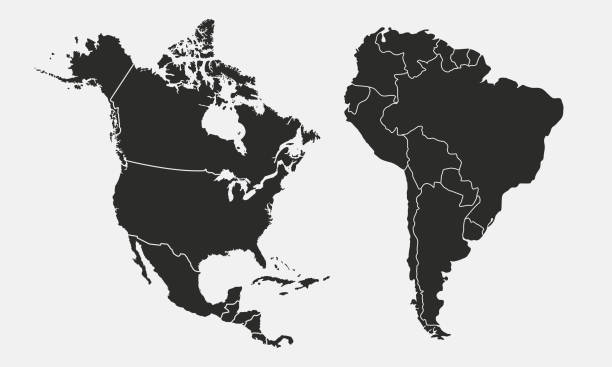
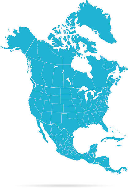
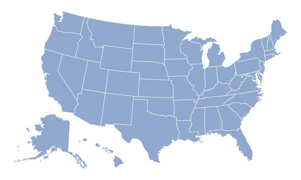
Map of North America. Vector.

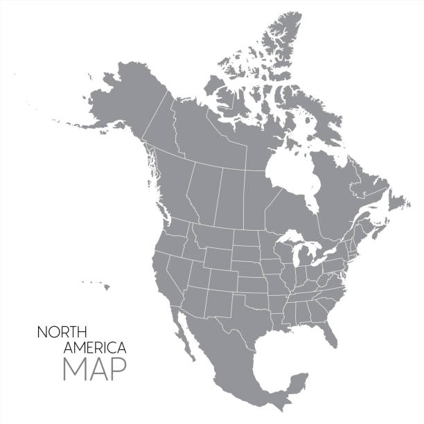
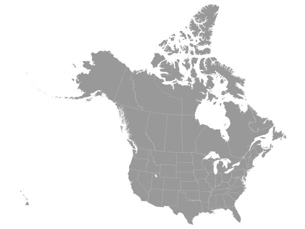
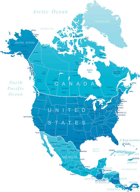
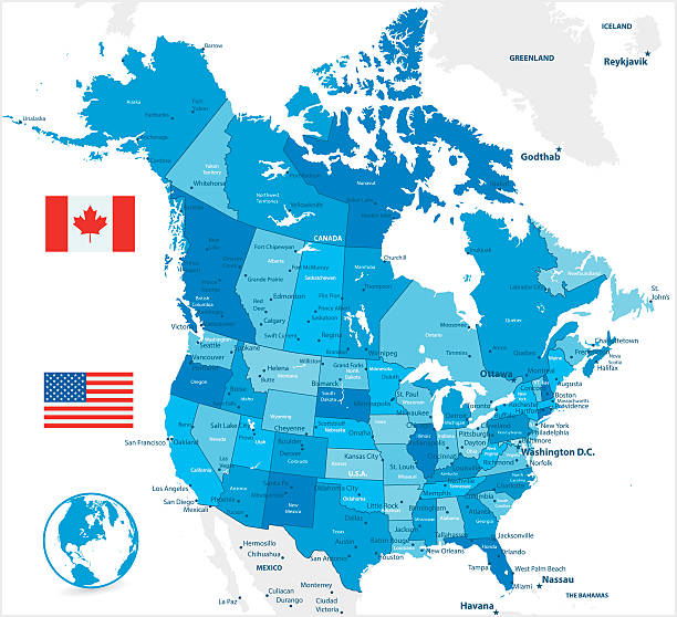
Map of North America with countries, states on white background
Vector illustration
vector of North America map
Highly detailed map of North America for your design and product.
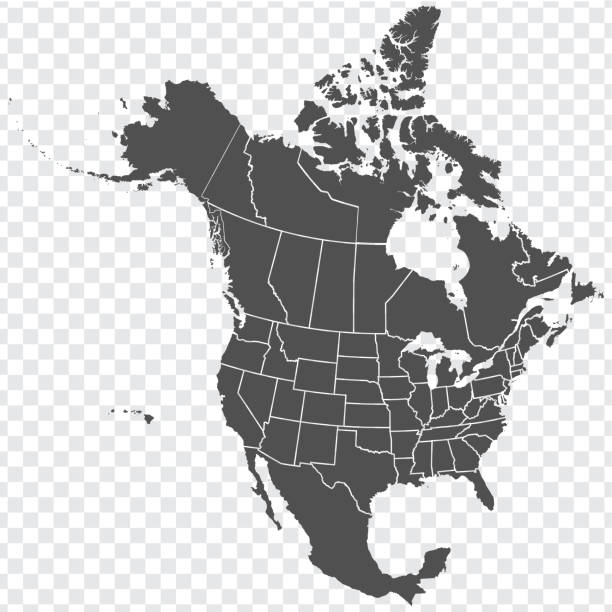
Vector Illustration of the Gray Federal Map of USA and Canada
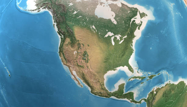
Physical map of North America, USA, Canada and Mexico, with high resolution details. Satellite view of Planet Earth. 3D illustration (Blender software), elements of this image furnished by NASA (https://eoimages.gsfc.nasa.gov/images/imagerecords/147000/147190/eo_base_2020_clean_3600x1800.png)
Vector illustration
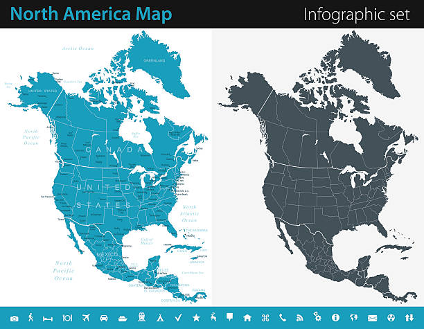
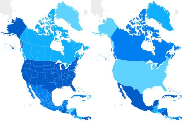
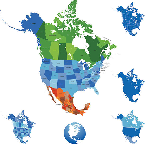
Vector maps of the North America with variable specification and icons
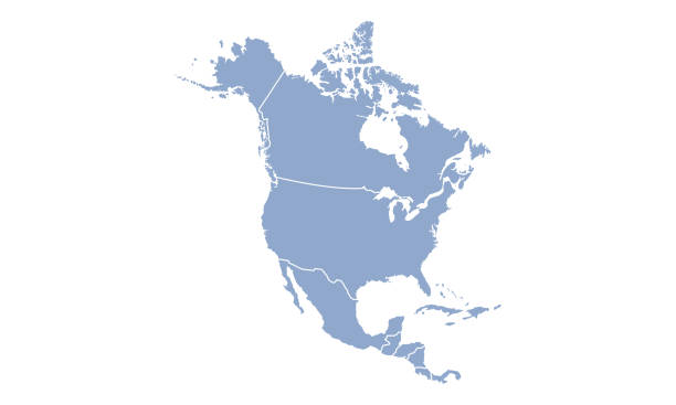
Empty Blue Map of the North America

USA from space at night with city lights showing American cities in United States, global overview of North America, 3d rendering of planet Earth. Some elements from NASA (https://eoimages.gsfc.nasa.gov/images/imagerecords/57000/57752/land_shallow_topo_2048.jpg)
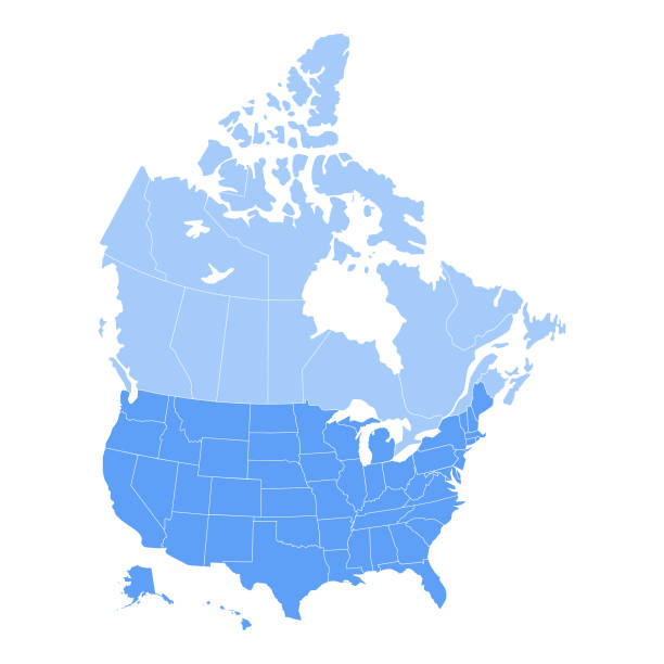
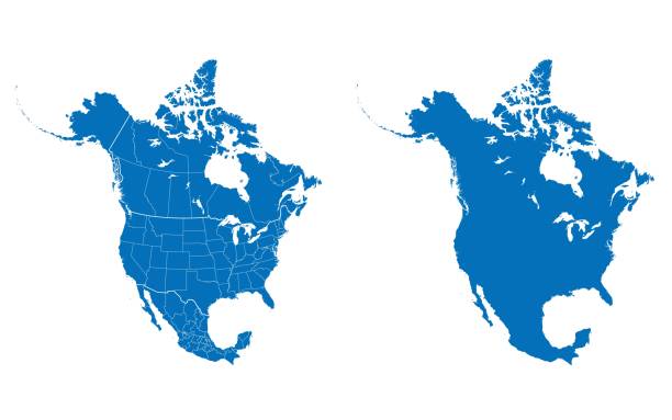
Vector illustration of the map of the United States of America and Canada in blue color and white outline.
Highly detailed map of North America for your design and products.
World Regions related, square line vector icon set for applications and website development. The icon set is pixelperfect with 64x64 grid. Crafted with precision and eye for quality.

Vector illustration
North America Map with vintage colours, borders, sea and oceans
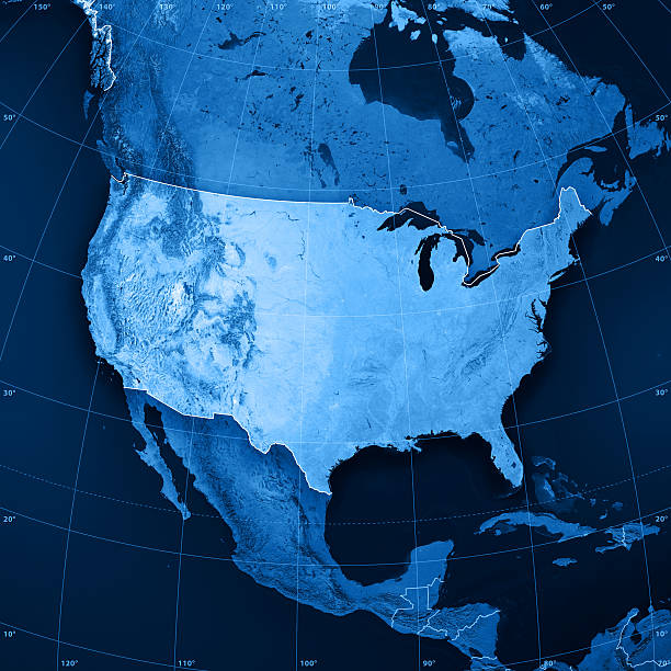
3D rendering and image composing: Topographic Map of the United States of America. Including country borders, rivers and accurate longitude/latitude lines. High resolution available! High quality relief structure!
Map of North America with countries, states on white background

globe earth american continent isolated white background, flat style design
Detailed Vector Map of North America..
Vector illustration

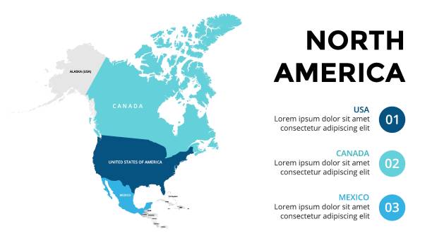
North America vector map infographic template. Slide presentation. USA, Canada, Mexico. World transportation geography data.

vector map of North America

The United Stated of America seen from space. High quality 3D rendered image, made from ultra high res 20k textures by NASA: https://visibleearth.nasa.gov/images/55167/earths-city-lights, https://visibleearth.nasa.gov/images/73934/topography, https://visibleearth.nasa.gov/images/57747/blue-marble-clouds/77558l
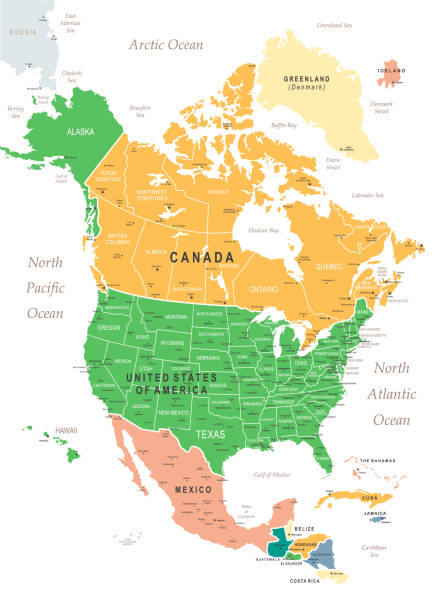
http://s017.radikal.ru/i404/1110/87/2c00b7bbd3ec.jpgHighly detailed map of the North America with countries, cities and other labels.

Map of North America with a realistic paper cut effect isolated on white background. Vector Illustration (EPS10, well layered and grouped). Easy to edit, manipulate, resize or colorize. Please do not hesitate to contact me if you have any questions, or need to customise the illustration. http://www.istockphoto.com/bgblue/

3d rendering, America - Usa. Photorealistic globe with lots of details. (3D terrain and clouds, city lights, reflective oceans...) Source maps are courtesy of NASA Earth Observatory Blue Marble project, for geographical boundaries: http://visibleearth.nasa.gov/view.php?id=73776 Credit: Reto Stöckli, NASA Earth Observatory http://visibleearth.nasa.gov/view.php?id=79765 Credit: NASA Earth Observatory image by Robert Simmon http://visibleearth.nasa.gov/view.php?id=73934 Credit: NASA Goddard Space Flight Center Image by Reto Stöckli (land surface, shallow water, clouds). http://visibleearth.nasa.gov/view.php?id=57747 Credit: NASA Goddard Space Flight Center Image by Reto Stöckli (land surface, shallow water, clouds).


Closeup of the flags of the North American Free Trade Agreement NAFTA members on textile texture. NAFTA is the world's largest trade bloc and the member countries are Canada, United States and Mexico. 3D rendering with detailed textured grunge effect on closeup.

Futuristic World map - USA region. World map derived from NASA Visible Earth: https://visibleearth.nasa.gov/view.php?id=74218
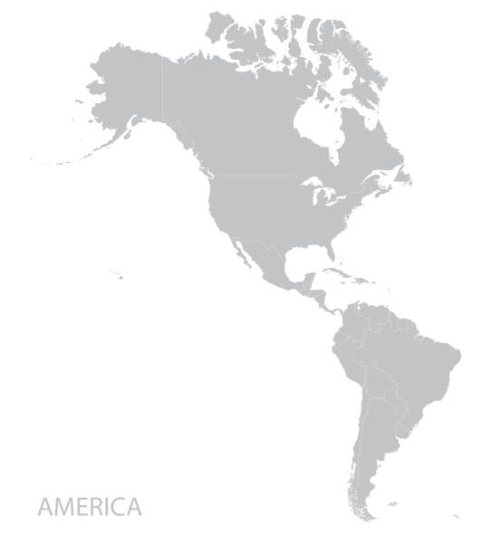
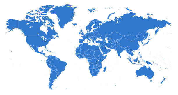
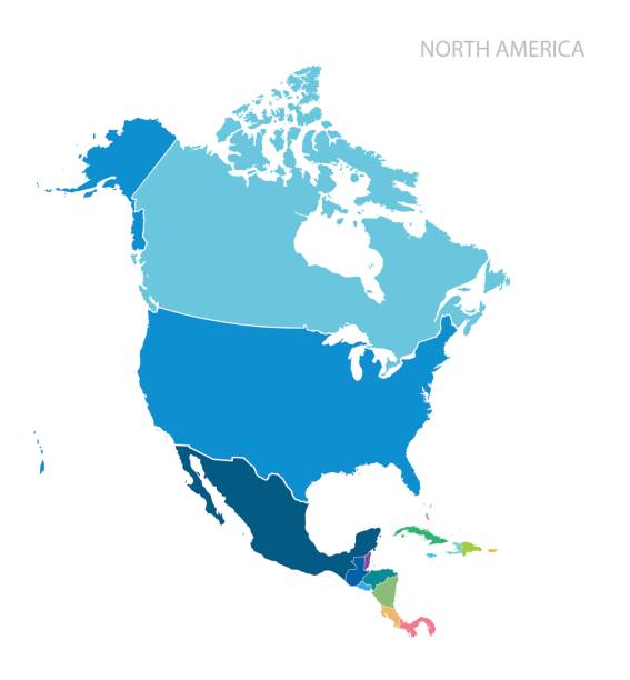
Americas map. Vector


Colorful stylized vector map of the United States of America with state name abbreviations labels. All 50 states can be individually selected.
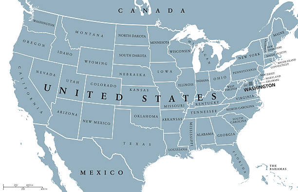
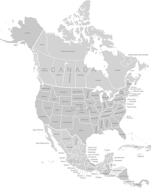
USA United States of America political map with capital Washington, single states, neighbor countries and borders, except Hawaii and Alaska. Gray colored illustration with English labeling and scaling.

United States Of America map on white background. Tiered 3d render of empty USA territory. Country poster for travel materials, print, banner and web. Geographic area levels visualization.
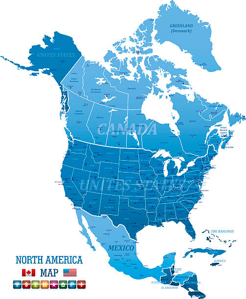
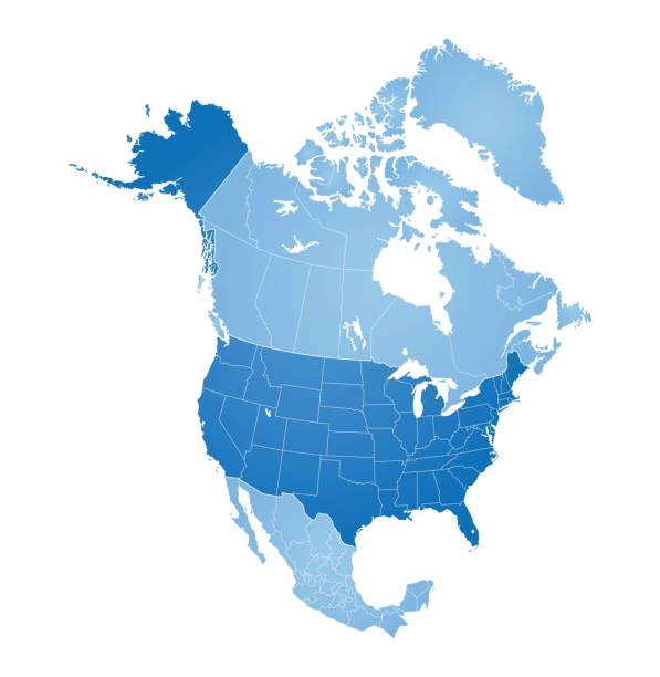
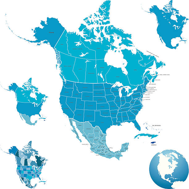
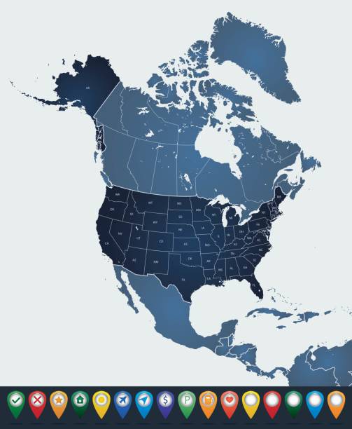
High detailed blue North America Map with navigation icons and Flag

http://i.istockimg.com/file_thumbview_approve/18513013/1/stock-photo-18513013-globe.jpg

Earth realistic shadowed sphere with meridians and parallels. 3D vector illustration. Carefully layered and grouped for easy editing. You can edit or remove separately the grid, the sea, the lands, the light and shadows.

3D Render of a Topographic Map of North America. All source data is in the public domain. Color texture: Made with Natural Earth. http://www.naturalearthdata.com/downloads/10m-raster-data/10m-cross-blend-hypso/ Relief texture: GMTED 2010 data courtesy of USGS. URL of source image: https://topotools.cr.usgs.gov/gmted_viewer/viewer.htm Water texture: Made with Natural Earth. https://www.naturalearthdata.com/downloads/10m-physical-vectors/

Physical map of Planet Earth, focused on North America, USA, Canada, Mexico and Central America. 3D illustration (Blender software), elements of this image furnished by NASA (https://eoimages.gsfc.nasa.gov/images/imagerecords/147000/147190/eo_base_2020_clean_3600x1800.png)

Close up of transparent globe showing North America.
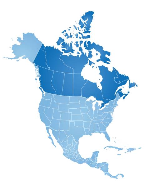
USA and Canada large detailed political map in colors of blue
Vector usa map america icon. United state america country world map illustration.

Earth night from space. USA view.

America at night viewed from space with city lights showing activity in United States. 3d render of planet Earth. Elements from NASA. Technology, global communication, world. USA. (https://visibleearth.nasa.gov/view.php?id=57752)
Map of North America. Vector.

America at night viewed from space with city lights showing activity in United States. 3d render of planet Earth. Elements from NASA. Technology, global communication, world. USA. (https://visibleearth.nasa.gov/view.php?id=57752)

World wide web. Global network connection. World map. Planet Earth. 3D rendering.
Map of North America with countries, states on white background
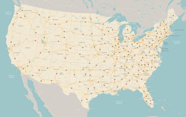
"A very detailed map of the United States with freeways, major highways, major cities and lakes and rivers. Each state was drawn separately so shoreline and waterways are very detailed."